Aerial Data Solutions For All
Fast, affordable, and reliable information about your assets to make informed, real-time decisions.

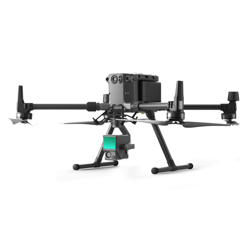
Pisano Industries specializes in Aerial Data Acquisition and storage to fuel mission critical projects. Using aerial and ground-based platforms we capture LIDAR, thermal, infrared and photogrammetry. We convert this data into digital twins which can be used for architectural design, cemetery management, engineering, construction, surveying, building management, real estate, and cultural preservation.
Architecture, Engineering and Construction
Map, Model, and Inspect with Drone Solutions, Automate Workflows and Digitize Your Assets

Construction Management
Drone solutions help manage every step of the construction process to monitor progress, reduce risk, and keep personnel safe
Building Inspection and Maintenance
Quickly map and model buildings to digitize the inspection and maintenance process, reducing costs while keeping personnel safe.
Urban Planning
Drone data creates accurate 2D and 3D models that integrate seamlessly with local geographic information systems, helping teams visualize results
Infrastructure and Utility
Manage Electrical Grids and Plants with Drone Solutions. Monitor Construction, Conduct Inspections and Maintenance with Ease.

Commercial Real Estate
Sell real estate listings faster and attract more clients by showcasing your commercial property from the air.
Construction Planning and Design
Drone data can be used to create 2D and 3D models in aerial site surveys to streamline planning and inform design
Natural Resource Management
Drones enable large-scale, detailed surveys of natural resources, providing accurate maps and models as well as telemetry data.
Residential Real Estate
Showcase your home from the sky at a fraction of the cost and time. Get stunning aerial photos and videos of your listings
3D Virtual Tours
Build high-definition 2D maps and 3D models of facilities and vertical structures using survey-grade drones, creating the next generation of experiential marketing and website functionality, 3D/VR and AR applications.
Asset Digitization
Build high-definition 2D maps and 3D models of facilities and vertical structures using survey-grade drones, illustrating inspection results digitally.
Heritage Site Preservation
Build detailed 3D models of cultural and natural heritage sites, digitizing assets for preservation and education.
Land Surveying
Drone solutions collect accurate, geo-tagged data quickly, while photogrammetry software processes these data to deliver standardized outputs.
Thermal Inspections
Save time and money while reducing liability with thermal imagery inspections by drone.
LIDAR Imaging
Save time and money while reducing liability with thermal imagery inspections by drone.
Architecture, Engineering and Construction
Map, Model, and Inspect with Drone Solutions, Automate Workflows, and Digitize Your Assets.
Commercial and Residential Real Estate
Receive actionable information from the sky for better, real-time decisions across residential, commercial, industrial, and other assets.
Heritage Site Preservation
Build detailed 3D models of cultural and natural heritage sites, digitizing assets for preservation and education.
Cemetery Management
Drones enable large-scale, detailed surveys of natural resources, providing accurate maps and models as well as telemetry data.
Natural Resource Management
Drones enable large-scale, detailed surveys of natural resources, providing accurate maps and models as well as telemetry data.
Surveying
Drone solutions collect accurate, geo-tagged data quickly, while photogrammetry software processes these data to deliver standardized outputs.
Urban Planning
Drone data creates accurate 2D and 3D models that integrate seamlessly with local geographic information systems, helping teams visualize results
Infrastructure and Utility
Manage Electrical Grids and Plants with Drone Solutions. Monitor Construction, Conduct Inspections and Maintenance with Ease.
Why Pisano Industries?
Pisano Industries has been trusted by hundreds of worksites across the country to provide mission critical data. We are focused on safety, standard of quality, and hassle-free operations with great customer service. Our vetted and trained pilots are available nationwide, insured, and compliant with regulations. As the world’s trusted Aerial Data Acquisition Service Provider, we will deliver ROI-positive results that are more cost-efficient than building an in-house drone program. We have the latest technology from Leica and DJI to ensure that the data we provide you is cutting edge


