

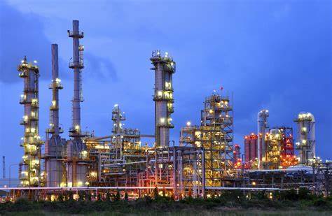
Boiler Inspection
Drones are compact and flexible, able to fly into boilers for a full scan without shutdowns or endangering inspection workers. The live footage helps identify risks for informed decision-making. Can be reliably deployed for internal inspections.
Equipment Inspections
Safely inspect hard to access areas with standard or thermal imagery to evaluate equipment, water damage, and more.

Wind Turbine Inspection
Drones can get close-up images of defects on the blade such as cracks, water ingress, corrosion or rust with a zoom camera without shutting down operations.
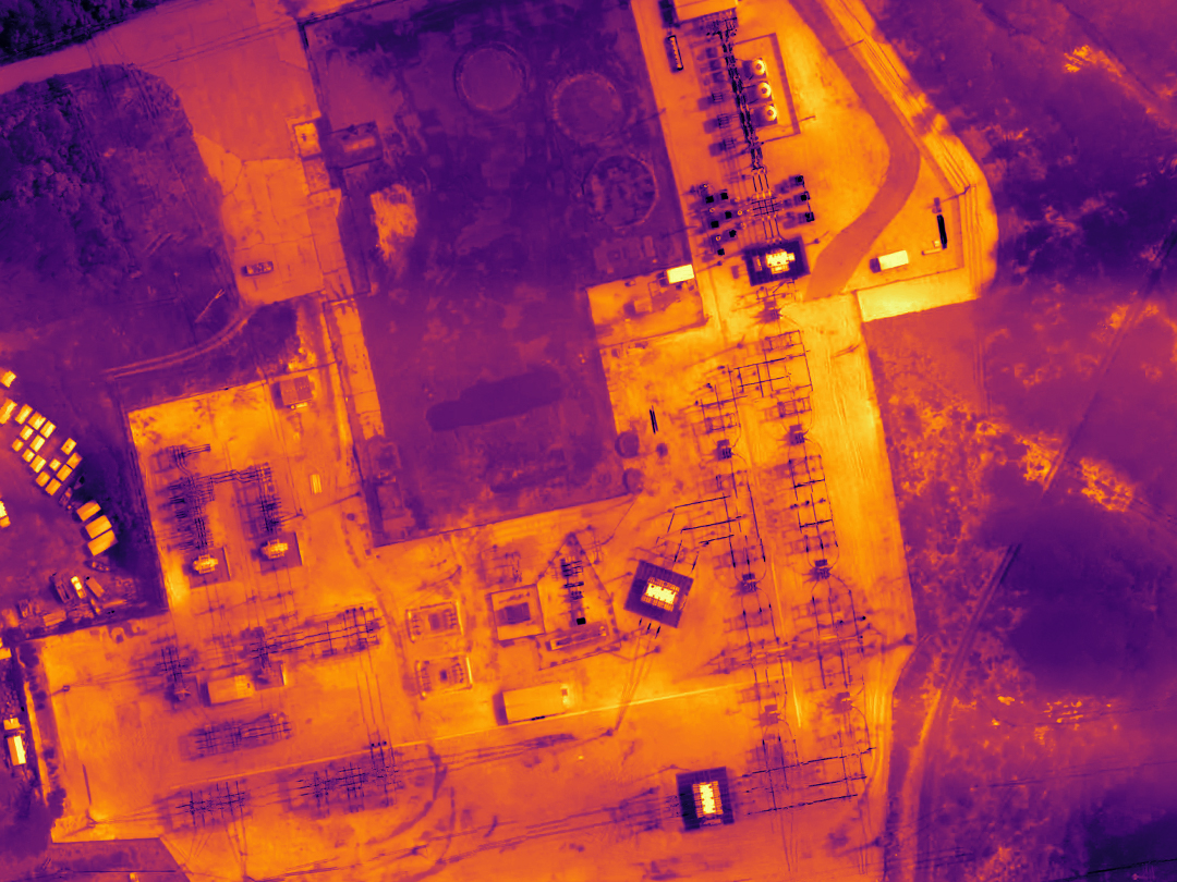
Thermal Inspections
Gain real-time temperature readings of assets using drones equipped with radiometric thermal sensors to immediately identify abnormalities.
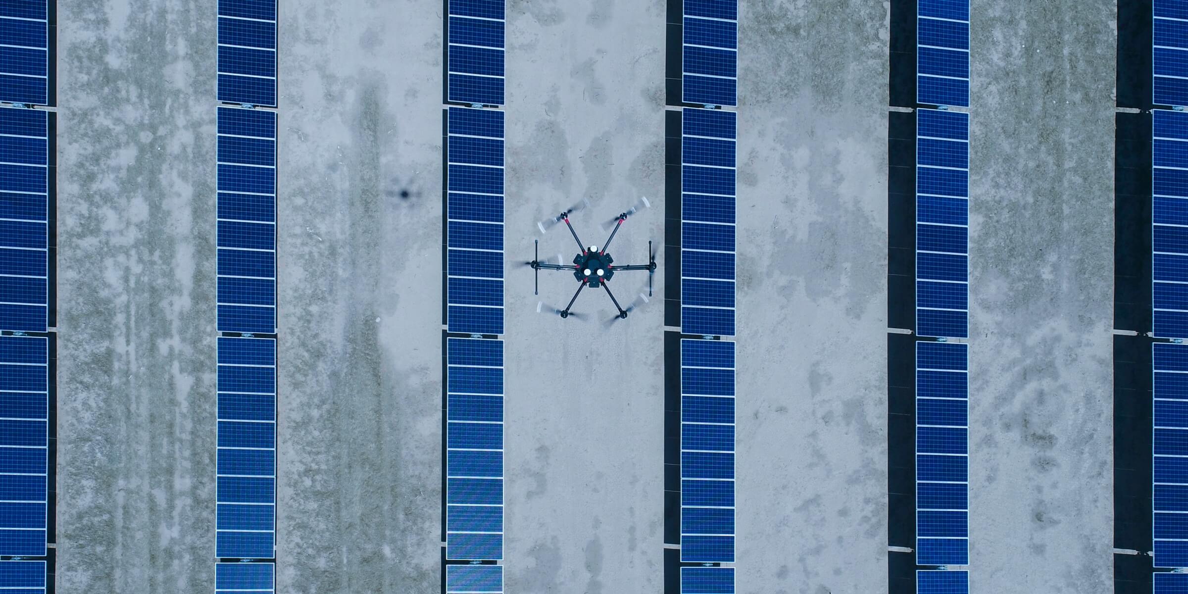
Solar Photovoltaic Inspection
Automated flight routes can be set up to conduct thorough, repeatable inspections of solar farms without safety risks to personnel. Drones enable teams to view temperature readings and visible-light footage in real-time so any hotspots on the PV components can be identified immediately.
Vegetation Management
Quickly map power line corridors, creating accurate 2D and 3D models that measure the distance between vegetation and power lines, helping to maintain a safe clearance distance. Drones can be operated in complex terrains, with intelligent features that follow the terrain to ensure flight safety without compromising data accuracy.
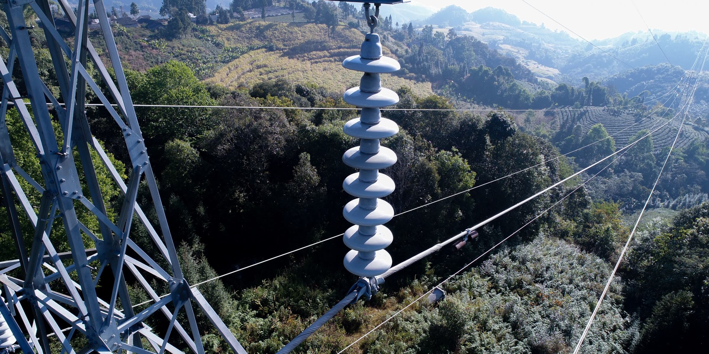
Asset Integrity Management
Conduct frequent, on-demand inspections to monitor the safety, reliability, and integrity of the power grid, improving efficiency and eliminating risks. Drones can take off in minutes, covering large areas during each flight, delivering actionable insights efficiently.
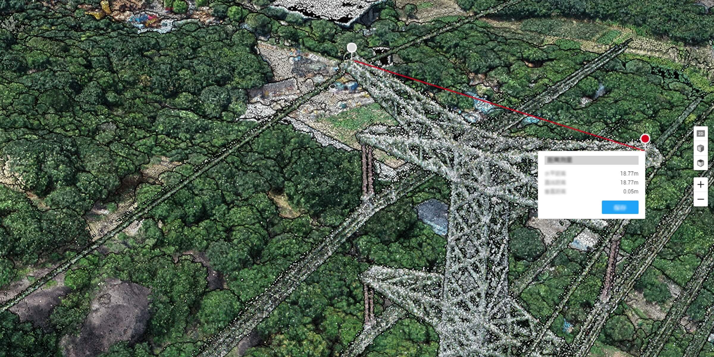
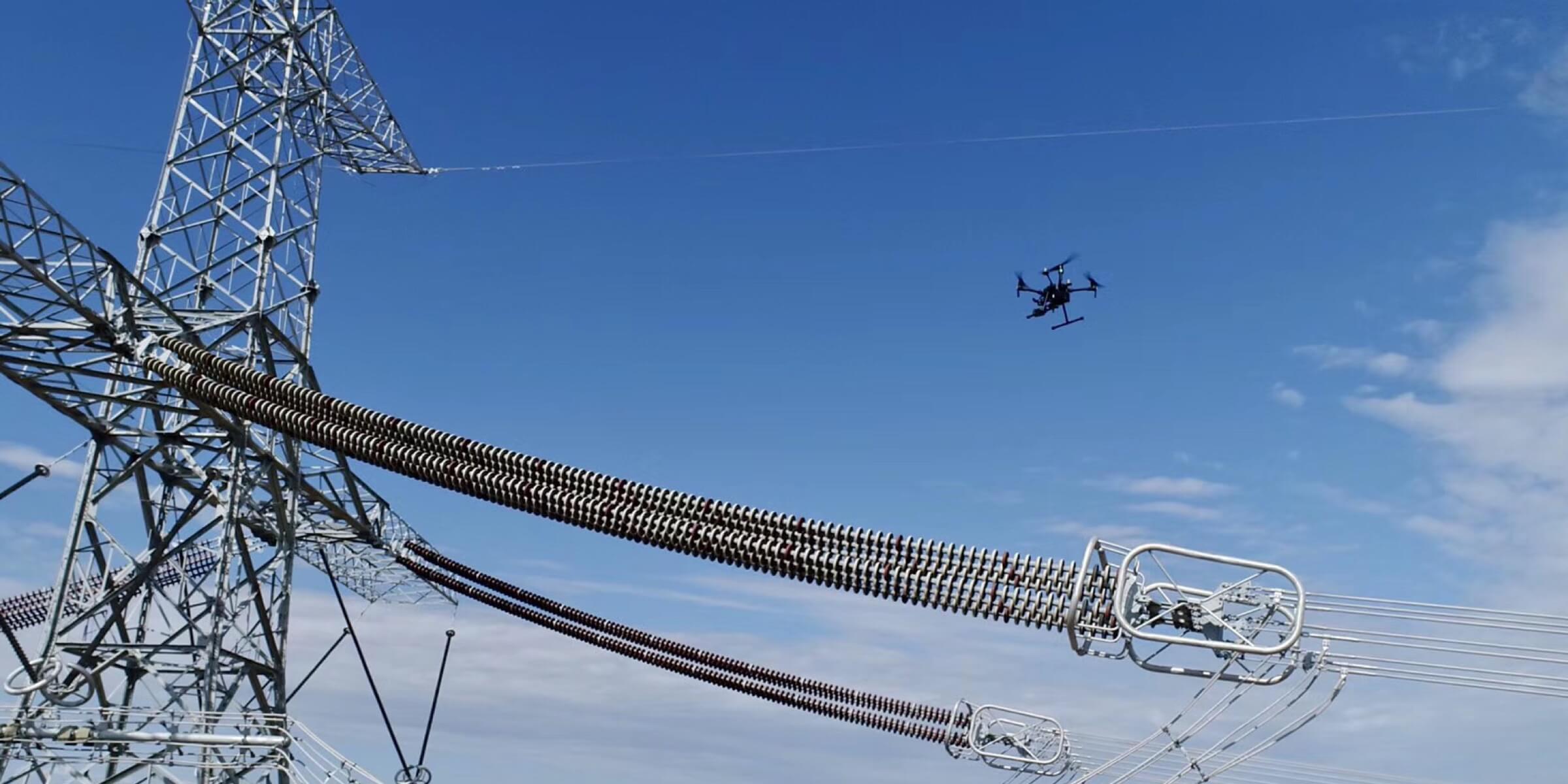
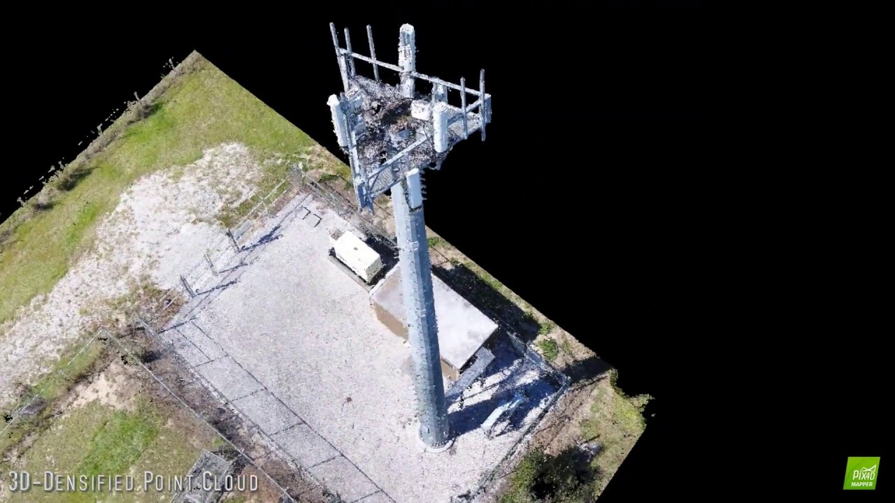
Detailed Inspection
Acquire standardized inspection data from automated drone inspections that identify defects accurately. Automated flight routes can be set up to inspect high-rising assets, creating detailed 3D point clouds without risking the safety of human operators enabling inspection teams to get high-quality data with basic training, while standardizing data output and streamlining processes
Fault Inspection
Capture the status of the asset from multiple angles using drones to reveal any faults or defects and address them in a timely manner. Capture critical information regardless of the environment, enabling teams to act quickly and minimizing losses.

Nighttime Inspection
Conduct inspections in lowlight conditions or at night using a drone equipped with a spotlight and thermal sensors. Drones can identify risks even in lowlight conditions or at night.

Power Line Construction
Map large areas to acquire detailed, precise data using drones. Optimize power line designs based on accurate geographic coordinates. Create 3D models with accurate positioning data that can be fitted into BIM models to visualize designs.
As Built Condition
Documenting on-site data throughout a project life cycle, contractors can easily track changes and build as-built models that reflect changes in detail before accepting the final project. Quickly build a detailed 3D model of a building to facilitate construction acceptance and routine inspection and maintenance.
Asset Digitization
Documenting on-site data throughout a project life cycle, contractors can easily track changes and build as-built models that reflect changes in detail before accepting the final project. Drones deliver complete inspection data on structures covering multiple angles without missing any details. Quickly build a detailed 3D model of a building to facilitate construction acceptance and routine inspection and maintenance.
Progress Monitoring
Documenting on-site data throughout a project life cycle, contractors can easily track changes and build as-built models that reflect changes in detail before accepting the final project. Drones deliver complete inspection data on structures covering multiple angles without missing any details. Quickly build a detailed 3D model of a building to facilitate construction acceptance and routine inspection and maintenance.

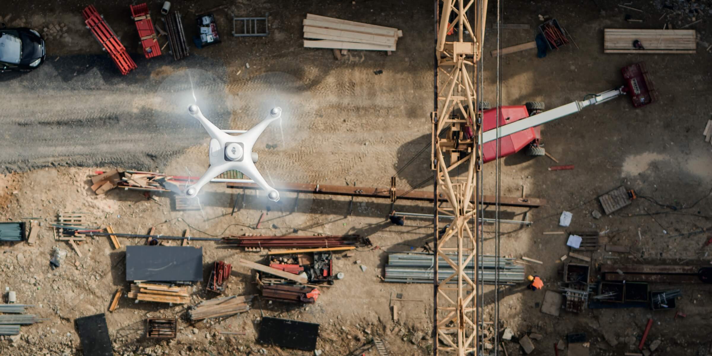
Site Survey
Map large areas to acquire detailed, precise data using drones. Project teams can rely on cost-effective drone solutions to efficiently visualize reality and collect surveying data needed to evaluate large worksites and optimize designs based on accurate geographic coordinates. Easily take off and fly over complex worksites to collect highly accurate data

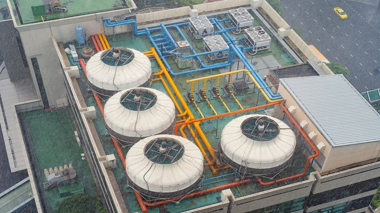
Facility and Utility Equipment Management
Inspect HVAC and other mission critical roof mounted equipment to ensure optimal performance without putting employees in harms way and without downtime.

Leak Detection and Repair (LDAR)
Identify leakages quickly and accurately using drones equipped with specialized sensors, keeping personnel safe and enabling timely decision making. Cover large areas in a few drone flights to efficiently test for leakages and determine the scope of the leak.
Safety and Security
Safely inspect hard to access areas with standard or thermal imagery. Conduct regular facility patrols and routine safety inspections with automated drone flights, documenting key findings and critical issues seamlessly.

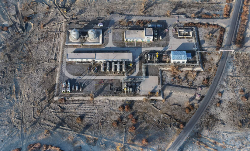
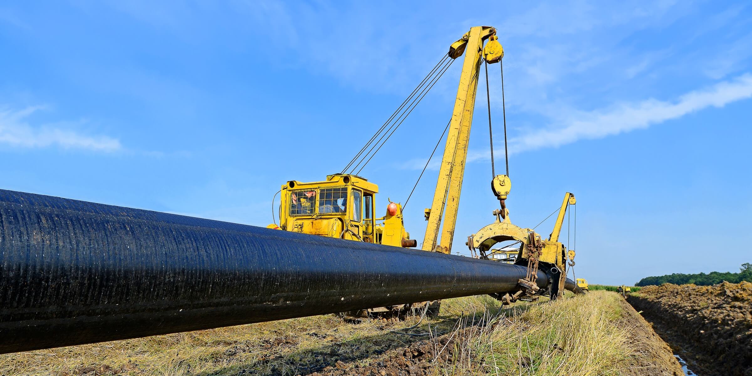
Pipeline Inspection
Gain a live aerial overview of pipeline conditions and monitor potential risks regularly to identify issues early on and address them in a timely manner. Augmenting traditional inspection with drone insight improves efficiency while protecting workers from hazardous environments.
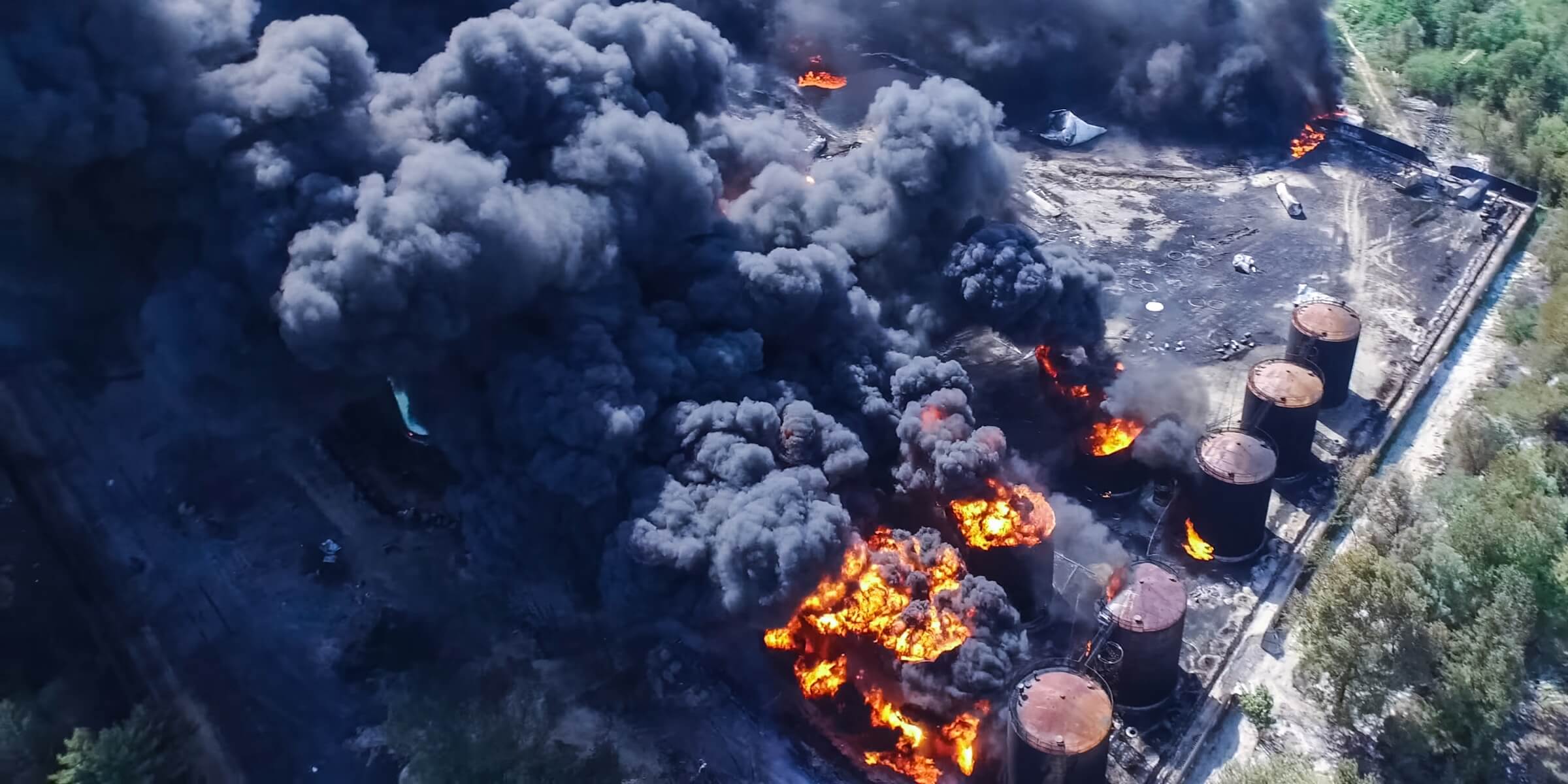
Emergency Response
Fly over affected areas, document damage to infrastructure and property, and create accurate models that help optimize repair efforts. Monitor hot work sites from the air, sending live feeds to the command center to rapidly coordinate team assignments.