

Cadastral Surveying
Boost the efficiency of data collection by quickly creating reality models that include plots and attachments using high-accuracy drone solutions. Generate 1:500 scale maps without using GCPs while meeting centimeter-level accuracy requirements. Improve the efficiency of data collection and processing up to 10 times, acquiring deliverables quickly and shortening project lifecycles. Gain industry-standard outputs like DOM, DSM, 3D reality models and more. Small teams can cover large areas quickly.

Land-cover and Land-use Change
Generate 2D orthomosaics in real-time so teams can immediately visualize land cover and identify any changes. Visualize results quickly using real-time 2D orthomosaics or create accurate, high-resolution maps in post-processing. Significantly reduce costs by using affordable drone and software solutions that automate data collection and processing. Keep digital records that can be easily used for regular land cover comparisons, so teams can monitor changes dynamically.
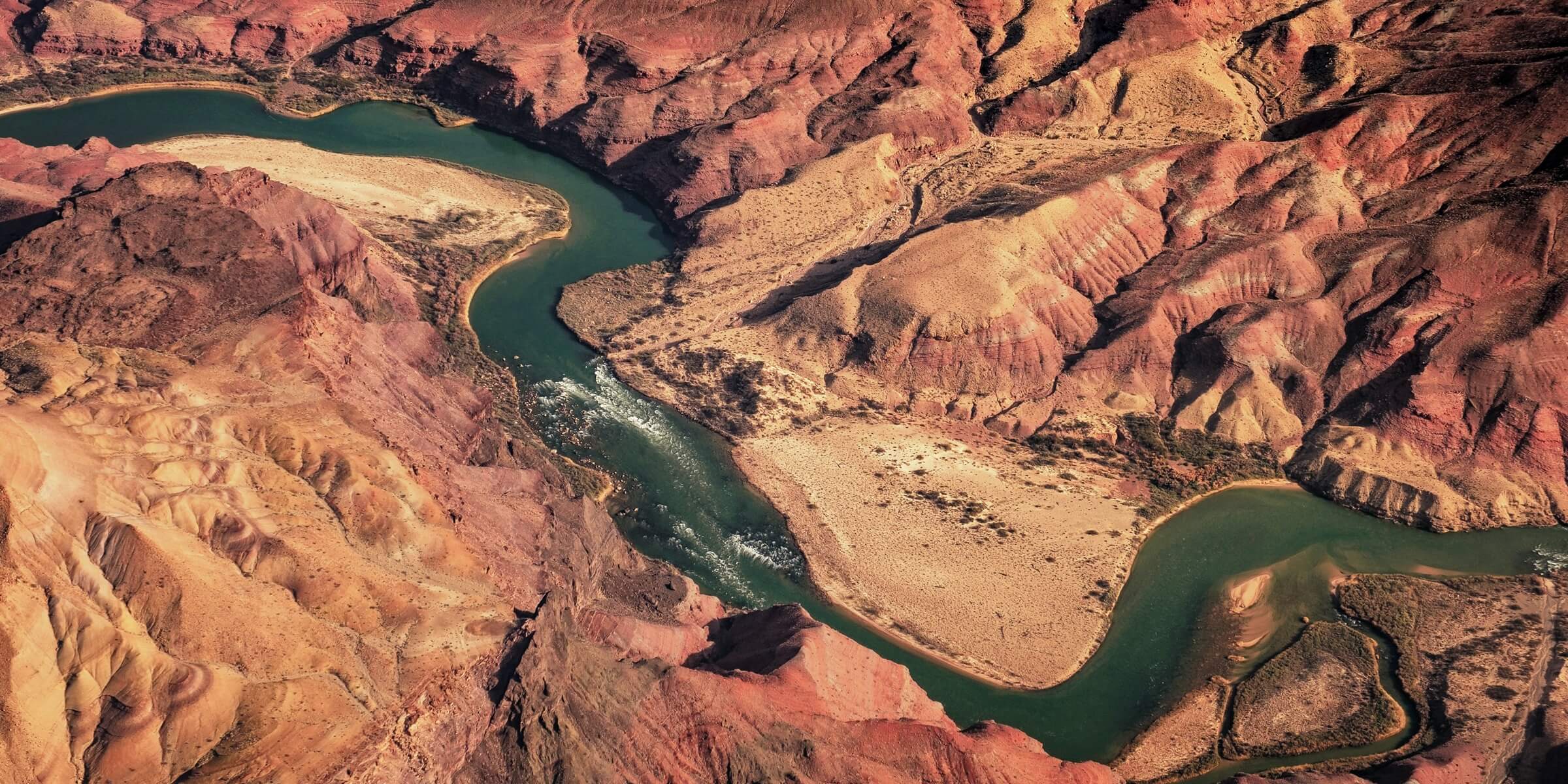
Topographic Surveying
Map and model large areas quickly with drones to produce data for accurate 2D and 3D models. Generate 1:500 scale maps. Improve the efficiency of data collection and processing acquiring deliverables quickly and shortening project lifecycles. Industry-standard outputs like DOM, DSM, 3D reality models and more.